


PROPERTY SEARCH

Near-hurricane winds hit Granada: Understanding the rare thermal explosion
Powerful sudden gusts of wind surprise the coast of Motril causing damage and prompting safety warnings
 Last Sunday, bathers and residents along the Motril coast in Granada experienced a sudden and powerful thermal explosion, marked by intense wind gusts reaching near hurricane strength. The fierce winds forced many to seek shelter and emergency services had to rescue five people struggling at sea due to rough conditions.
Temperatures that day climbed to over 45 degrees Celsius, making it the hottest day recorded in Andalucía so far in 2025, according to data from the State Meteorological Agency (Aemet). Out of nowhere, a storm surge accompanied by heavy rain struck Torrenueva Costa, with lifeguards swiftly evacuating around 5,000 people in just 20 minutes.
Motril’s mayor, Luisa García Chamorro, took to Instagram to warn: “We are facing what is called a thermal explosion, with strong, almost hurricane-force winds. It is recommended not to go outside. Please be very careful.” Such bursts are incredibly dangerous; they can uproot trees, damage buildings and cause serious road accidents. They pose risks to aircraft too, particularly during takeoff and landing phases.
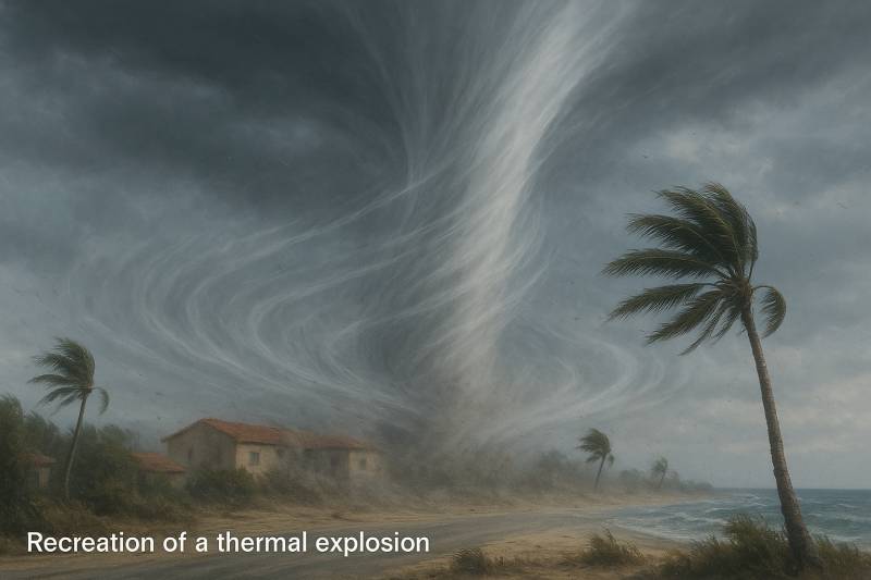
So, what exactly is a thermal explosion? This phenomenon frequently occurs in dry or semi-arid climates. It starts when isolated thunderstorms create descending columns of air called downdrafts. In these cases, rain often evaporates before reaching the ground due to layers of warm, dry air. As the cooled air falls, it heats again and accelerates downward, then violently expands upon hitting the earth’s surface; producing powerful, damaging wind gusts.
Though these violent winds share some similarities with tornadoes, they are quite different. Tornadoes involve a twisting rotation of air along a vertical axis and often bring rain or hail. In contrast, thermal explosions feature air moving straight downward before spreading out horizontally at the surface. Thermal bursts typically happen during summer months, while “wet blowouts” occur in spring and autumn under different weather patterns.
Because these wind bursts are short-lived, often lasting only between 5 and 20 minutes, and cover small areas typically no more than a few kilometres wide, they are notoriously difficult to predict. Technologies like Doppler radar and specialised sensors are essential for early warning.
Meteorologists also note climate change may be playing a role in increasing the frequency of thermal explosions. The rise of very warm, dry air masses, ideal conditions for these sudden bursts, is thought to be linked to changing global climate patterns, raising concerns about future risks from these unpredictable and destructive winds.
You might also be interested in: Soak for free in Granada's hidden thermal pool with ancient healing waters
Image: Created with Chatgpt